Helene Roars Through Western North Carolina: What We Learned
As residents of Asheville and surrounding areas come to terms with the aftermath of Storm Helene, many are still reeling from the ferocity of the winds and the sheer volume of rain that swept through our beautiful region on September 27. While Helene may not have had all the formal characteristics of a hurricane, it certainly made its presence felt, especially in the high elevations of the mountains.
How Strong Were the Winds?
The National Weather Service recently shared some surprising data about the wind speeds that Helene brought along with it. With gusts reaching between 40 to 90 mph across Western North Carolina, and even hurling up to a breathtaking 106 mph in certain mountainous locales, it’s safe to say that Helene was no gentle breeze. The highest recorded gust was at Mount Mitchell, which is notably the highest peak east of the Mississippi River. Who knew that such breathtaking beauty could also face such furious wrath?
Where Did Helene Hit Hardest?
According to the Weather Service, two pockets in the region experienced especially intense winds. The first was in the stunning Blue Ridge Parkway and the Black Mountains, located specifically in an area that straddles Buncombe and Yancey counties, just northeast of Asheville. The second hotspot was found near Roan Mountain, which lies a bit further north along the North Carolina-Tennessee border. If you’re familiar with these areas, you can probably imagine the magical views that now, unfortunately, must be combined with the sight of devastation.
Rainfall Records
And let’s not forget the rain! Along with those wild winds, Helene unleashed a staggering 23 inches of rain in the mountains. That’s like trying to fill up a bathtub by turning the tap on full blast—just picture that amount of water pouring down all at once!
How Did They Measure It?
Using a combination of crowd-sourced damage pictures and videos, along with drone and aerial imagery, the Weather Service pieced together the extent of the storm’s impacts. They even utilized some fancy high-resolution satellite imagery to get the most accurate picture possible. This comprehensive analysis revealed that the winds were not a fleeting affair. Instead, they persisted for several hours, unlike the typical strong winds from a thunderstorm that last for just a few minutes. It’s this prolonged intensity that led to widespread tree damage, particularly since the ground was already soggy from the rain.
The Aftermath: Trees, Trees, and More Trees
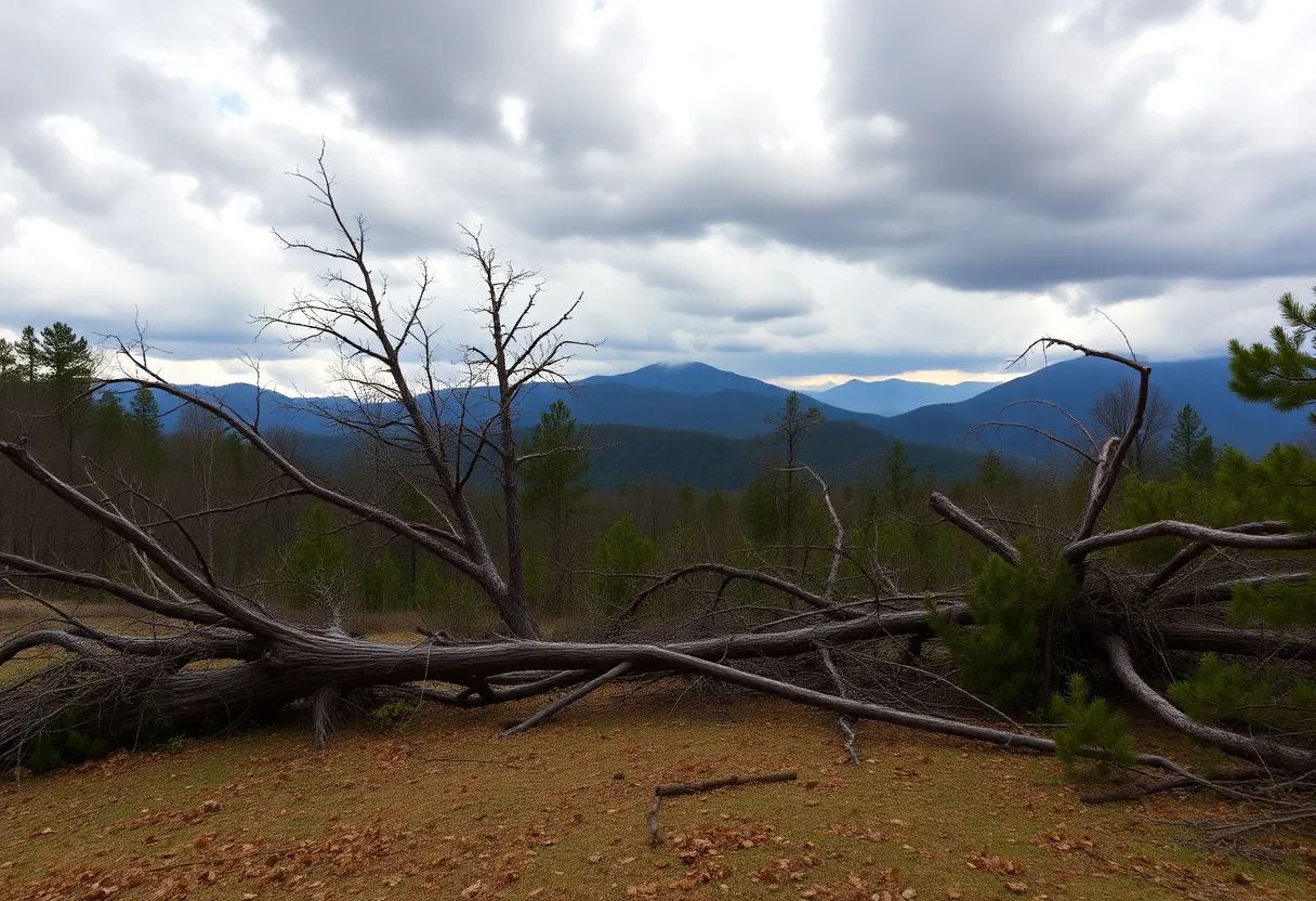
Sadly, the aftermath of Helene left millions of trees downed across the region. The U.S. Forest Service reported that southeast-facing mountain slopes took the heaviest hit. As the winds whipped through the forest, it caused trees to sway back and forth, and finally tip over when the saturated soil could no longer hold them. In some areas, you might even notice trees strewn haphazardly in all different directions, which shows how unpredictable those winds became as the storm passed.
What’s Next?
Currently, Mount Mitchell State Park remains closed as crews are busy clearing the roads of downed trees and making repairs. For all of us who cherish the great outdoors, it’s a bittersweet moment. We long to walk those trails again, but first, we need to allow nature and our dedicated crews the time they need to restore order.
In the end, Helene served as a powerful reminder of nature’s might, along with the importance of community support in rebuilding and recovering. We’re certainly in this together, and as we look forward to clearer skies, let’s take a moment to appreciate the resilience of our beautiful mountains and the communities that surround them.


