
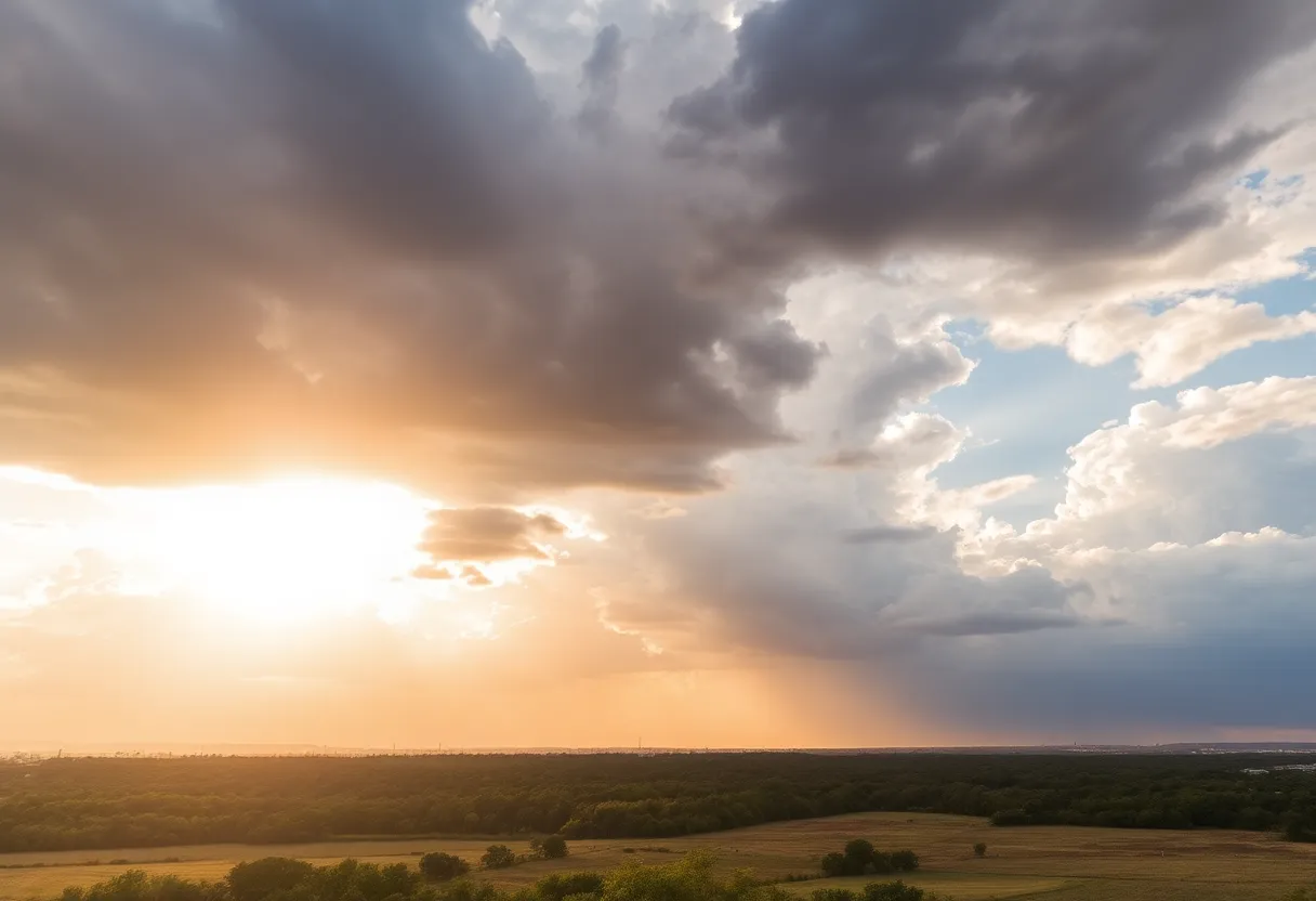
Austin's weather forecast shows a mix of showers and sunny skies
Want to target the right audience? Sponsor our site and choose your specific industry to connect with a relevant audience.
Prominent brand mentions across targeted, industry-focused articles
High-visibility placements that speak directly to an engaged local audience
Guaranteed coverage that maximizes exposure and reinforces your brand presence
Interested in seeing what sponsored content looks like on our platform?
May’s Roofing & Contracting
Forwal Construction
NSC Clips
Real Internet Sales
Suited
Florida4Golf
Click the button below to sponsor our articles:
Sponsor Our ArticlesHey there, Austin! Just checking in with the latest on our weather, and it looks like we have a bit of a mixed bag coming our way. As the sun sets tonight, you might notice some isolated showers and a few thunderstorms in the area, but don’t worry, it seems most of the rainy action is going to stay up northwest of us. If you’re in the Hill Country, it’s worth keeping an umbrella handy as this area has the highest chances of experiencing those evening storms.
Currently, there is a low-level severe weather risk in place for the Hill Country, rated at level 1 out of 5, meaning that while it’s something to keep an eye on, it’s not overly concerning. Rain coverage for the evening is expected to be light, with only about 20% of Central Texas likely to see measurable rain. So, if you’re planning to head out tonight, it might be just fine—though a light jacket could be a good idea.
As we roll into Friday, it looks like an upper-level low is moving in closer, bringing with it a cold front that might just shake things up a bit more. Expect higher chances of rain than what we’ll see Thursday evening, but some neighborhoods might completely miss out on it. The cold front is anticipated to slowly push through the area, starting with a line of showers and storms spilling over the Hill Country from morning into the early afternoon.
For those of us in Austin and to the east, the best timeframe for rain will be later in the afternoon and into the evening. It’s also important to remember that while there will be rain around, the most significant activity—as far as potential for storms—will coincide with the front’s passage. The same low-level severe weather threat carries over to Friday across Central Texas, so keep an ear out for any updates.
Now, about how much rain will actually fall: it seems likely that most areas will see somewhere between 0.1 to 0.75 inches of rain where it does come down. However, there will be potential for localized areas to receive up to 1-2 inches in spots if the storms hit just right!
If you have plans for the weekend, you’re in luck! The front should clear out the rain chances by Saturday, giving us some much-appreciated sunshine and clear conditions. Sunday in particular looks bright, perfect for those fall outings, football games, or just enjoying the outdoors!
And for those who keep an eye on tropical weather, Hurricane Rafael seems unlikely to affect Texas. The current forecasts suggest it will be guided southward into Mexico, steering clear of the Lone Star State. That’s a bit of good news for anyone worried about any unexpected storms coming our way!
Remember to stay tuned for updates from your weather team; it’s always a good idea to be prepared no matter what the forecast shows! Enjoy your evening, and here’s hoping for some delightful weather just ahead!
News Summary With an influx of new residents from high-cost states, Charleston, South Carolina, is…
News Summary La Unica Super Center in Greenville, SC, closed on February 3rd in solidarity…
News Summary The FBI is investigating an assault on a 15-year-old Muslim student at Ardrey…
News Summary York Technical College is gearing up for Tech Fest 2025, celebrating 60 years…
News Summary A York County parent, Terano Nelson, has filed a lawsuit against York Preparatory…
News Summary A woman has been tragically discovered deceased inside a burning vehicle in Manheim…


