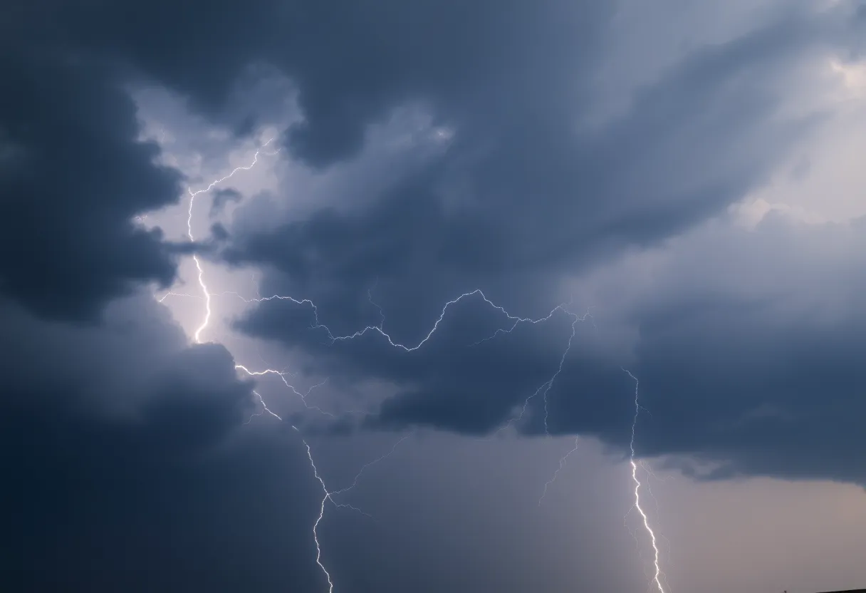
Thunderstorm Warning for Charleston Residents
Hey there, Charleston! If you haven’t stepped outside yet today, you might want to think twice. The National Weather Service has just issued a **weather alert** warning us about some **strong thunderstorms** moving our way. This alert came through at 3:05 p.m. local time, predicting that these storms could stick around until about 3:30 p.m. So, let’s get a little cozy indoors and dive into the details.
What’s in Store?
The areas affected by this alert include Inland Berkeley, Tidal Berkeley, as well as Dorchester and Charleston counties. If you’re located in places like North Charleston, Mount Pleasant, Summerville, Goose Creek, Hanahan, or nearby locales like Daniel Island and Awendaw, you should probably keep an eye on the skies.
The thunderstorms are moving swiftly—about 60 mph! Doppler radar has already tracked a strong storm over North Charleston, and it looks like it’s heading our way. What can we expect? Well, prepare yourself for potential wind gusts of up to 50 mph and hail that could be as big as a penny (around 0.75 inches). Now, that might sound a bit scary, but it’s always good to know what’s coming.
Watch Out for Possible Damage
With those gusty winds, there’s a chance we could see some *minor damage to outdoor objects*. So if you have any patio furniture or decorations that could easily be blown away, do yourself a favor and secure them. Nobody wants to chase after a flying lawn chair!
Where to Stay Informed
The NWS strongly urges everyone to “stay tuned to NOAA Weather Radio All Hazards, TV, or your local news source” for the latest updates. This is especially crucial as these storms can sometimes switch things up at a moment’s notice. Keeping informed can help you stay safe and make better decisions during severe weather.
Thunderstorm Safety Tips
While we’re waiting this storm out, let’s talk safety. If you find yourself outdoors and can’t make it indoors for shelter, here are some tips to help you stay safe:
- Avoid any tall structures that might attract lightning.
- Stay away from open fields where you could be the highest point.
- Keep your vehicle’s windows closed and avoid touching metal inside the vehicle.
Speaking of vehicles, have you ever heard of hydroplaning? It’s that slippery feeling when your car glides on a thin layer of water, making it super hard to control. This is especially common during heavy rainfall from thunderstorms. The water builds up in front of your tires faster than your car can push it out of the way, leading to a loss of grip on the road.
What to Do if You Hydroplane
If this happens, don’t panic! Here’s what you should do:
- Stay calm and don’t hit the brakes.
- Gently steer in the direction you want to go.
- Ease off the accelerator slowly.
Remember: driving slowly on wet roads and keeping a safe distance from other vehicles can help prevent hydroplaning in the first place.
Final Thoughts
So, as we brace ourselves for this storm in Charleston, it’s essential to stay safe and keep loved ones informed. Let’s make sure we’re all doing our part to stay safe during this weather. Until the skies clear, grab a snack, find a good spot on the couch, and ride it out comfortably!