News Summary
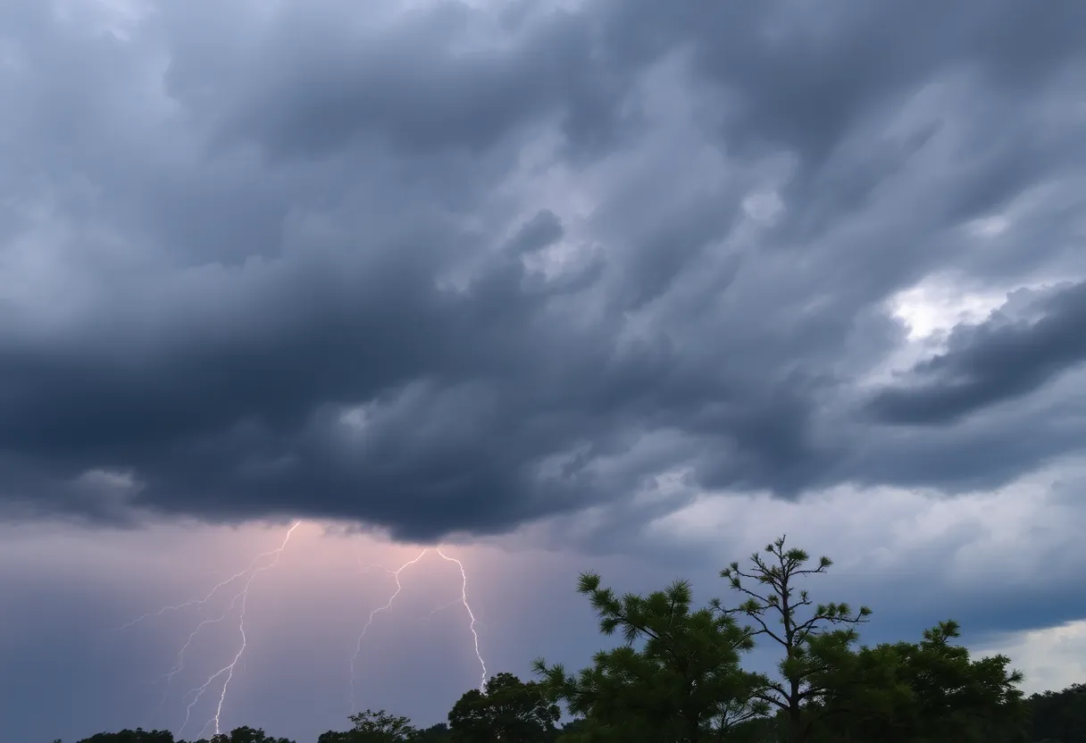
Residents of South Carolina, particularly in McCormick and Edgefield counties, face severe thunderstorms and possible tornado conditions. The National Weather Service warns of hail, high winds, and lightning risks. Downed trees and power lines have been reported, causing temporary outages. As the storms pass, cooler temperatures are expected, followed by clearer skies later in the week. Stay safe and secure as weather conditions evolve.
Severe Thunderstorm and Tornado Watches Hit South Carolina!
March 31, 2025, is shaping up to be quite the eventful evening for the residents of South Carolina. McCormick and Edgefield counties are currently under a weather alert from the National Weather Service (NWS) in Columbia, which was issued at 6:22 p.m. This alert warns of the possibility of strong thunderstorms that could wreak some havoc in the area.
What to Expect: Thunderstorms and High Winds
These thunderstorms are not just your average rain showers; they could bring *pea-sized hail* of about 0.25 inches along with wind gusts that could reach up to a staggering 50 mph. As we all know, gusty winds can be quite problematic, as they have the potential to knock down tree limbs and send unsecured objects flying. So, it’s a good time to secure your lawn furniture and any other loose items before the storm hits.
Doppler radar tracked a particularly strong thunderstorm around Crawfordville at 6:21 p.m., and it’s heading northeast at a brisk pace of 40 mph. Those in the vicinity should stay alert, as this storm could impact various spots nearby, including: Bordeaux, Broad River Campground, Parksville, Modoc, Scott’s Landing, Edgefield, Knox Scout Reservation, and many more. A complete list includes local favorites like Elijah Clark State Park and Hickory Knob State Resort Park!
Staying Safe During Severe Thunderstorms
With thunderstorms comes the risk of lightning. Remember that lightning can strike as far as 10 miles away from the main storm! If you see any dark clouds rolling in, it’s time to take cover indoors. The NWS strongly advises everyone to avoid being on the water during thunderstorms. If you hear thunder, no matter how far away it seems, seek shelter right away. Lightning is notorious for taking lives—an alarming statistic shows it strikes the United States approximately 25 million times each year, leading to about 20 fatalities during the summer months.
Recent Updates and Impact
A recap from Monday evening showed that numerous counties, including McCormick, Edgefield, and Saluda, received severe thunderstorm warnings, with a tornado warning issued as well. Thankfully, that tornado warning was not confirmed. However, reports of downed trees and power lines followed, resulting in brief power outages for several thousand residents, although most have since been restored. The strongest gust reported so far was a whopping 55 mph in Wilkes County! Rainfall has varied, with totals ranging from 0.25 to 1 inch in most places, but isolated areas received more than 2 inches.
A Glimpse at the Weather Ahead
The good news is that the skies are expected to clear overnight, with temperatures dropping into the comfortable upper 40s to upper 50s. Tuesday afternoon promises to be much brighter, with temperatures reaching the mid 70s to low 80s—perfect weather for enjoying the sunshine after the storms.
Looking a little further ahead, a ridge of high pressure is set to build, bringing in moisture and raising temperatures even higher, possibly hitting the mid 80s by Wednesday. However, don’t forget to keep an eye on the skies! There could be some pop-up showers as we move through the week.
Long-Term Forecast
If you’re planning ahead, the long-term forecast suggests that a cold front could be arriving between Sunday and Monday of next week. This could lead to a noticeable drop in temperature, with highs settling in the upper 60s and lows dipping down into the 40s. So it looks like we might experience a fair share of variety in our weather this April!
Stay safe out there, folks! Keep your family and property secure, and make sure to stay tuned for any updates regarding the *weather*. Here’s to hoping for clear skies ahead!
Deeper Dive: News & Info About This Topic
HERE Resources
Severe Weather Hits Columbia: Tornado and Thunderstorm Warnings
Thunderstorm Warning for Western North Carolina
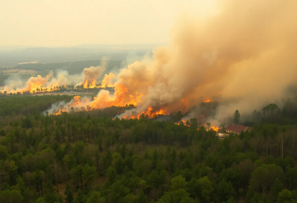
Progress Made in Table Rock Wildfire Containment After Rain
Tragic Incident in Greenville: Young Woman Shot by Deputies
Rock Hill Residents Brace for Severe Weather as Memories of Past Storm Resurface
Severe Thunderstorm Watch Issued in South Carolina
York County Residents Brace for Severe Weather
Deadly Storm System Devastates Midwest and Southeast
Table Rock Complex Fire Breaks Records in South Carolina
Columbia Braces for Severe Weather as Storms Approach
Additional Resources
- WJBF: Tornado Warning Issued
- Wikipedia: Severe Thunderstorm Warning
- WRDW: Storm Damage Report
- Google Search: South Carolina Weather Alerts
- WLTX: Tornado Watch in Effect
- Encyclopedia Britannica: Tornado
- Myrtle Beach Online: Weather News
- Google News: Thunderstorm Preparedness