News Summary
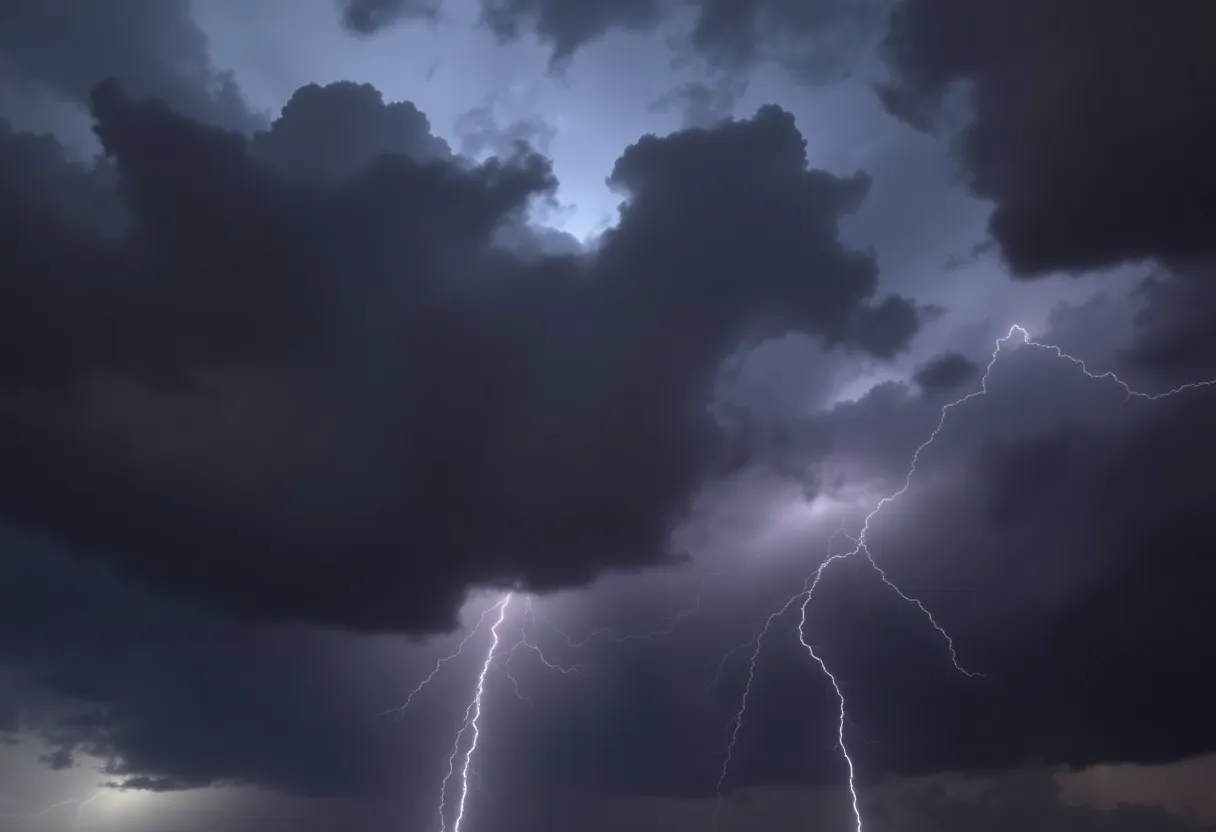
Charleston residents are on high alert as severe thunderstorm warnings have been issued for parts of the city and surrounding areas. The National Weather Service forewarned that vigorous thunderstorms are moving into the area, causing potential risks such as strong winds and lightning strikes. Drivers are advised to exercise caution on local highways, particularly I-26 and I-526, due to the likelihood of hydroplaning and reduced visibility. The storms are part of a broader weather system affecting over 64 million people along the Eastern Seaboard.
Severe Thunderstorm Warnings Drizzle Down on Charleston
Charleston residents are keeping a watchful eye on the sky as severe thunderstorm warnings have been rolled out for parts of the city and surrounding areas. On Wednesday morning at 11:43 a.m., the National Weather Service (NWS) sent out alerts that strong thunderstorms would be in the area until 12:45 p.m. The stormy weather is particularly affecting Inland Berkeley and Charleston County, so if you’re in that area, it’s time to stay alert!
What’s Brewing in the Atmosphere?
According to the latest radar reports, a line of vigorous thunderstorms is zooming in at a brisk 60 mph, making its way northeast. It stretches from approximately 8 miles west of Eastern Lake Marion to beyond Bears Bluff. Residents in North Charleston, Mount Pleasant, Summerville, Goose Creek, Hanahan, Moncks Corner, McClellanville, Edisto Beach, Naval Weapons Station Charleston, and Ladson are particularly on alert!
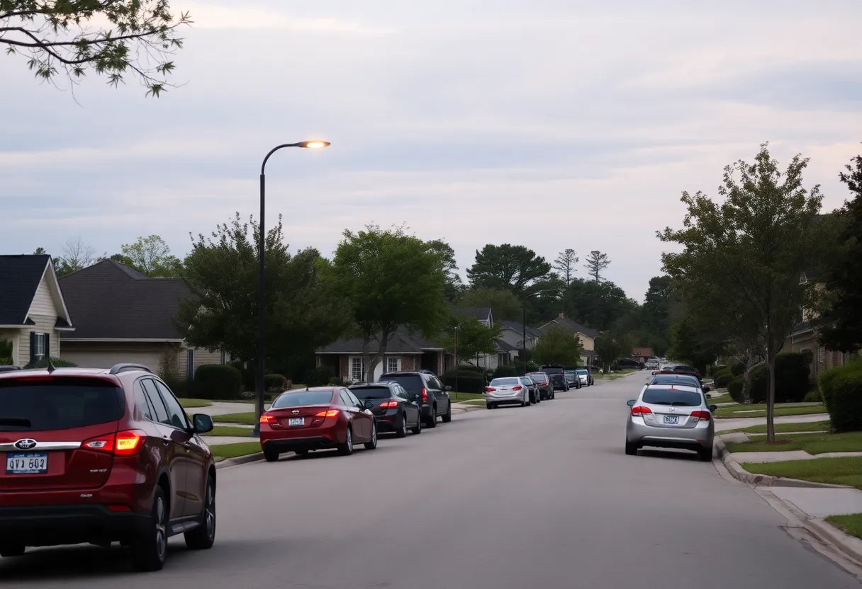
But wait, there’s more! Highways won’t be spared either. Interstate I-26 and Interstate I-526 are also in the firing line, so drivers should be cautious if you’re heading between mile markers 174 and 221 on I-26 or mile markers 11 and 31 on I-526.
Watch Out for Windy Weather!
One of the big worries during these thunderstorms is the wind. The gusts could be strong enough to not only knock down tree limbs but also blow around anything that’s not anchored down. You might want to secure any outdoor items to prevent them from turning into flying debris!
Lightning Strikes — A Shocking Threat
If you find yourself caught out in the open during one of these storms, make sure to follow safety tips that can keep you protected as much as possible.
Driving During Storms: Stay Safe!
For those who might be tempted to drive during the storm, be cautious of hydroplaning. This happens when a car loses contact with the road due to water pressure accumulating under the tires, making for a slippery situation. The main culprits for hydroplaning can include excessive speed, worn tires, and standing water on the roads. It’s best to remain aware of these conditions to avoid dangerous driving scenarios!
Severe Weather Warnings Extend Beyond Charleston
Forecasters have flagged considerable risks, which include straight-line winds, isolated tornadoes, and winds gusting over 75 mph. Currently, about 10 million residents in Eastern South Carolina and Central/Eastern North Carolina are under a Level 3 risk of severe weather.
Prominent cities impacted by these conditions range from Virginia Beach, Norfolk, and Chesapeake in Virginia to Raleigh and Durham in North Carolina. The storm’s reach extends all the way to the picturesque Outer Banks of North Carolina and coastal South Carolina, with Charleston and Myrtle Beach feeling the heat of the weather woes.
So, Charleston, as the skies darken and thunder rumbles, make sure to stay tuned for updates and keep safe!
Deeper Dive: News & Info About This Topic
HERE Resources
Severe Weather Pummels Western North Carolina
Severe Thunderstorm and Tornado Warnings for Columbia
Rock Hill Faces Havoc as Severe Thunderstorm Strikes
Wildfires Rage Across the Carolinas: State of Emergency Declared
Tropical Storm Debby Causes Chaos in South Carolina
Tropical Storm Debby Hits South Carolina: A Community in Crisis
Severe Storm Causes Flooding and Evacuations in Eastern U.S.
Hughes Fire Sparks Evacuations and I-5 Closures in California
Severe Weather Outbreak Causes Tornadoes and Tragedies Across Southern States
Severe Weather Warning: Tornado Watches for Georgia and South Carolina
Additional Resources
- Country Herald
- Wikipedia: Severe Thunderstorm
- Myrtle Beach Online
- Google Search: Tornado Watch Charleston
- Fox Weather
- Encyclopedia Britannica: Tornado
- New York Post
- Google News: Severe Weather Charleston
- Count on 2
- Google Scholar: Thunderstorm Safety
- MSN Weather