News Summary
A series of severe thunderstorms wreaked havoc across western Washington, bringing heavy rain, hail, and power outages. Lightning strikes caused damage to homes and triggered residential fires, especially in Everett. The National Weather Service issued storm warnings, as large hail and urban flooding posed significant risks. As night fell, residents stayed vigilant, with schools and local authorities taking precautions to protect the community. This storm will certainly be memorable for many as they navigated through alarming weather conditions.
Severe Thunderstorms Cause Ruckus Across Western Washington
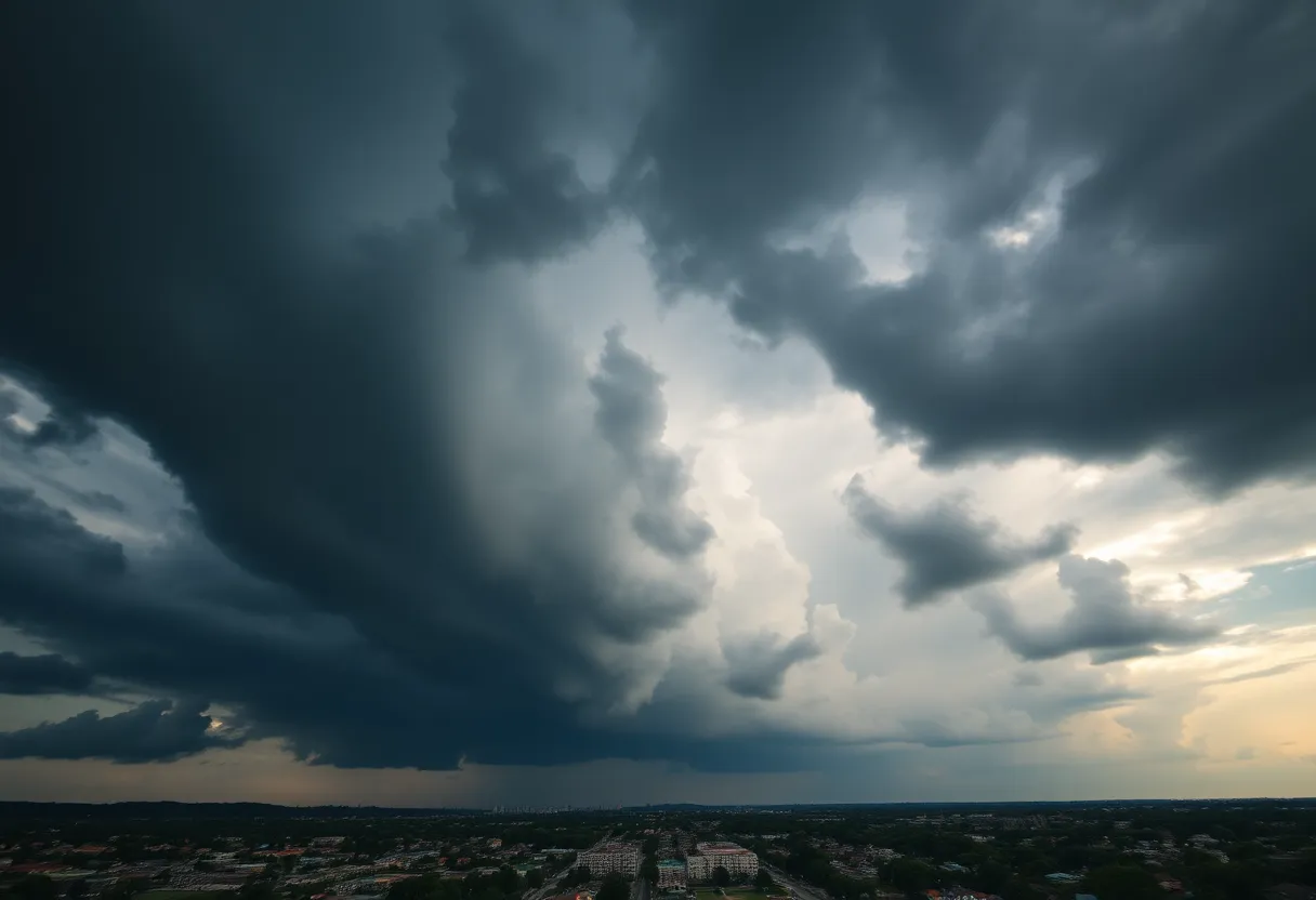
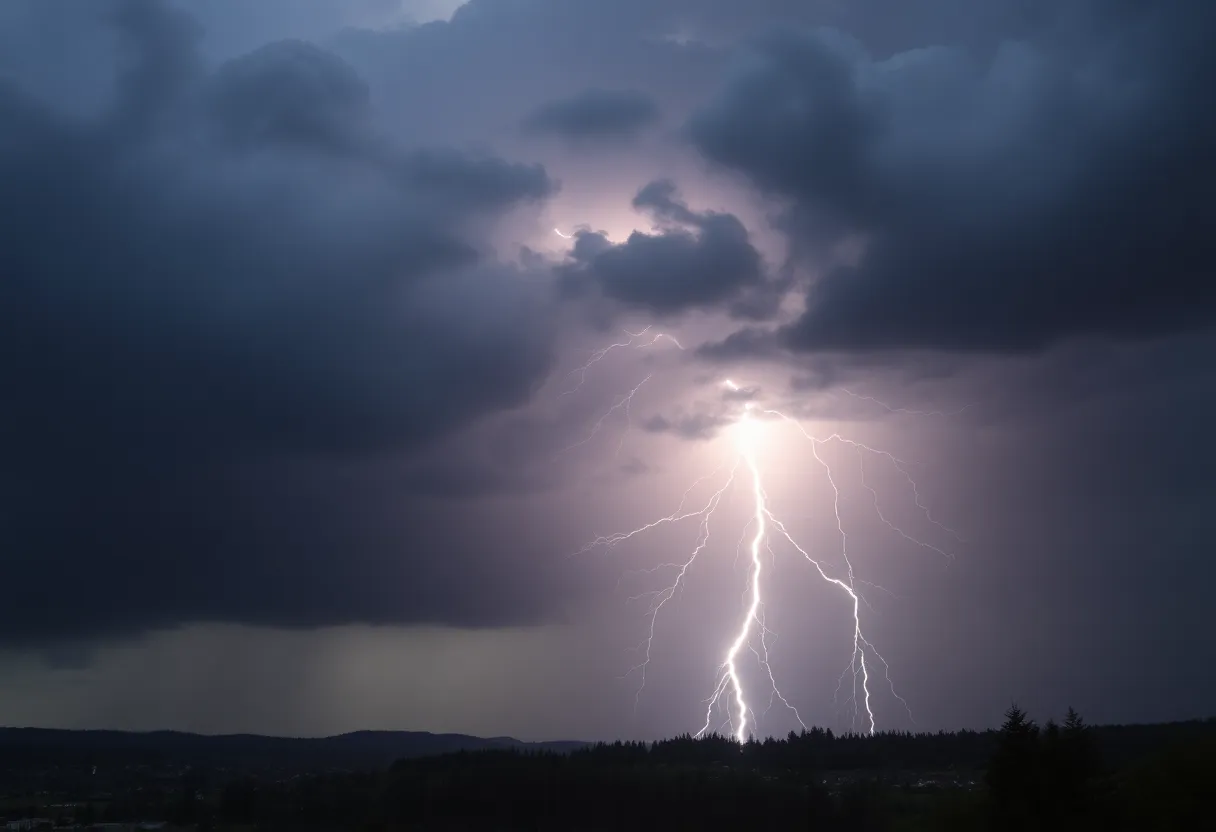
Lightning flashes and thunder rumbles filled the air as widespread thunderstorms swept through western Washington on Wednesday night, creating quite the spectacle! With rain pouring down in buckets and some areas experiencing short-term urban flooding, it was a night to remember – though perhaps not for the best reasons.
Intense Weather Strikes with a Punch
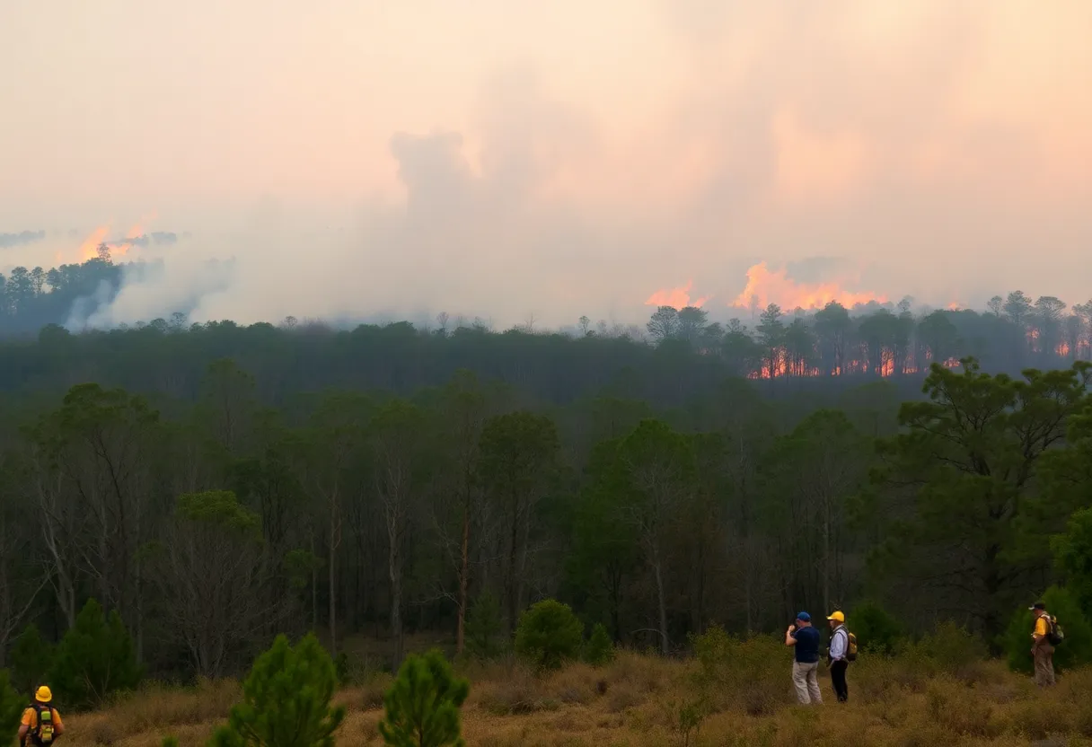
If you thought you were safe from the wrath of the skies, think again! Hail measuring nearly 0.9 inches made its presence known, particularly over the stunning Olympic Mountains. As if that wasn’t enough, lightning was not just a backdrop; it caused real damage to several structures. Homes and equipment were not spared, with incidents like a residential fire on Camano Island and equipment trouble reported along SR 109 by Grays Harbor County PUD.
Fire Crews on High Alert
Everett residents certainly had a dramatic evening as fire crews rushed to a house struck by lightning, highlighting just how powerful this storm system was. With excitement and worry hanging thick in the air, many residents turned their eyes to the skies, wondering what would happen next.
Power Outages Galore!
As the thunderstorm intensified, so did the power outages! Approximately 1,050 customers in south Seattle found themselves in the dark due to lightning strikes, while Puget Sound Energy reported that around 1,500 customers were left without power as well. It’s enough to make anyone double-check their flashlights!
Weather Alerts and Precautions
A Stormy Timeline
The storm system kicked off around 5 p.m., rolling into the Oregon-Washington border before charging through the Chehalis Valley into Long Beach by 6 p.m. Seattle was next on the hit list, welcoming the thunderous activity by around 7 p.m. Thankfully, by 9:20 p.m., the immediate threat began to wane, especially in areas south of Jefferson and Snohomish counties.
Schools and Airports on High Alert
Advice from the NWS
Stay Prepared, Stay Safe
So there you have it – a stormy night that the residents of western Washington won’t soon forget. Stay safe out there, folks!
Deeper Dive: News & Info About This Topic