News Summary
Residents of Upstate South Carolina and Northeastern Georgia are urged to prepare for severe weather, including thunderstorms and gusty winds. The National Weather Service has warned of wind gusts reaching up to 50 mph and possible flooding. Thunderstorms are expected to continue throughout the day, with a Severe Thunderstorm Watch in effect until 7 p.m. It is crucial for residents to stay informed and prioritize safety during this tumultuous weather.
Severe Weather Alert: Striking Thunderstorms and Gusty Showers Over Upstate SC and Northeastern Georgia
Attention residents of Upstate South Carolina and Northeastern Georgia! Buckle up, because the weather is about to take a wild turn. The National Weather Service (NWS) has issued a precautionary alert for thunderstorm activity stretching from the stunning Oconee Mountains to the picturesque areas of Pickens and beyond. So grab your umbrellas and find a cozy spot inside—you’ll want to stay safe!
What’s Happening Now?
As of 6:26 a.m. on a gorgeous Sunday morning, the NWS reported gusty showers expected to linger until 7:15 a.m. Recent Doppler radar readings indicated those showers were making their way through, impacting areas from just northwest of Walhalla to south of Clayton and even down to Cleveland. The showers are moving east at about 25 mph, and yes, you guessed it—a few thunderstorms could pop up along the way.
Wind Warnings!
Hold onto your hats, folks! Wind gusts could reach up to a whopping 40 mph. With such strong winds, be prepared for tree limbs being blown about, along with any unsecured items that could go flying. It’s a good idea to stay indoors during this time to avoid nasty surprises, especially at spots like Long Creek, Devils Fork State Park, and Tallulah Gorge State Park.
Flooding Concerns
As if that weren’t enough, make sure to steer clear of flooded zones. If you see a flooded road, the best choice is to make a safe U-turn and go back. Whether it’s a light drizzle or a heavier downpour, flooding can create powerful currents—don’t risk it, as powerful waters can sweep vehicles off the road. And let’s talk about hydroplaning for a moment: if you’re driving through still water and you start sliding, that’s due to water pressure lifting your tires off the road. Always remember, safety first!
Another Round of Thunderstorms Looming
Radar has tracked these storms hitting areas like Westminster, Carnesville, and yes, our favorite parks like Victoria Bryant State Park. Again, if you’re outside, finding shelter indoors is definitely the best course of action.
A Long-Term Watch
Looking ahead, keep in mind that a Severe Thunderstorm Watch is in effect until 7 p.m. That means the risk of strong thunderstorms is high, so stay informed about changing weather conditions as the night approaches.
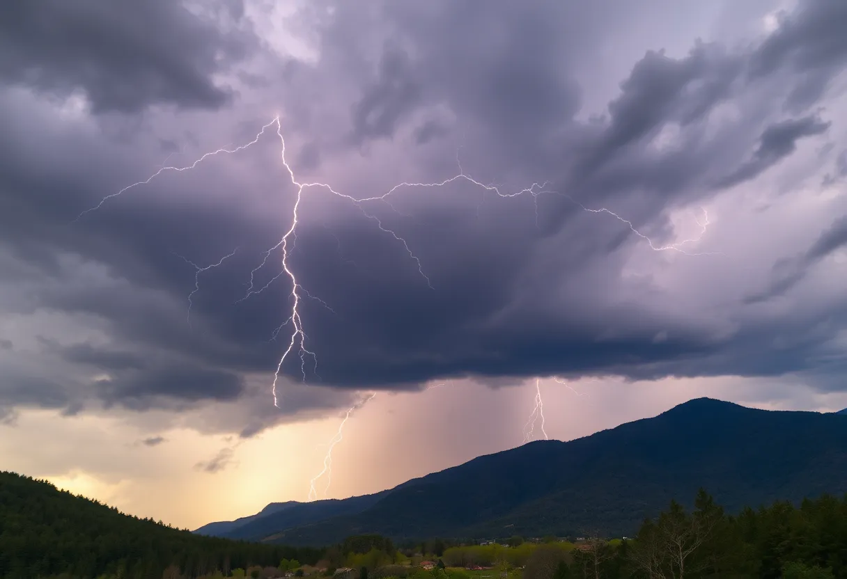
Lightning Strikes
Though we tend to focus on rain and wind, let’s not forget about lightning. In the United States, lightning strikes an estimated 25 million times each year during thunderstorms, and tragically, it causes around 20 fatalities annually. The chances of a lightning strike peak as the storm rolls in, so it’s crucial to be cautious during this volatile weather.
Stay Safe Out There!
As we navigate these stormy conditions, be proactive about your safety. Monitor updates, avoid flooded areas, and seek shelter during storms. The weather might be a touch tumultuous right now, but with a little bit of care, you and your loved ones can ride out the storm safely. Keep those umbrellas handy and stay alert!
Deeper Dive: News & Info About This Topic
HERE Resources
Severe Flooding Devastates Hopkinsville, Kentucky
Severe Thunderstorm and Tornado Watches Hit South Carolina
Tragic Loss: Community Mourns 9-Year-Old Boy Swept Away by Floods
Tega Cay: Best Place to Live in South Carolina for 2025
Severe Weather Hits Columbia: Tornado and Thunderstorm Warnings
Columbia Embraces New Energy Leadership at Duke Energy
Tragic Incident in Rock Hill: Father and Daughter Found Dead in House Fire
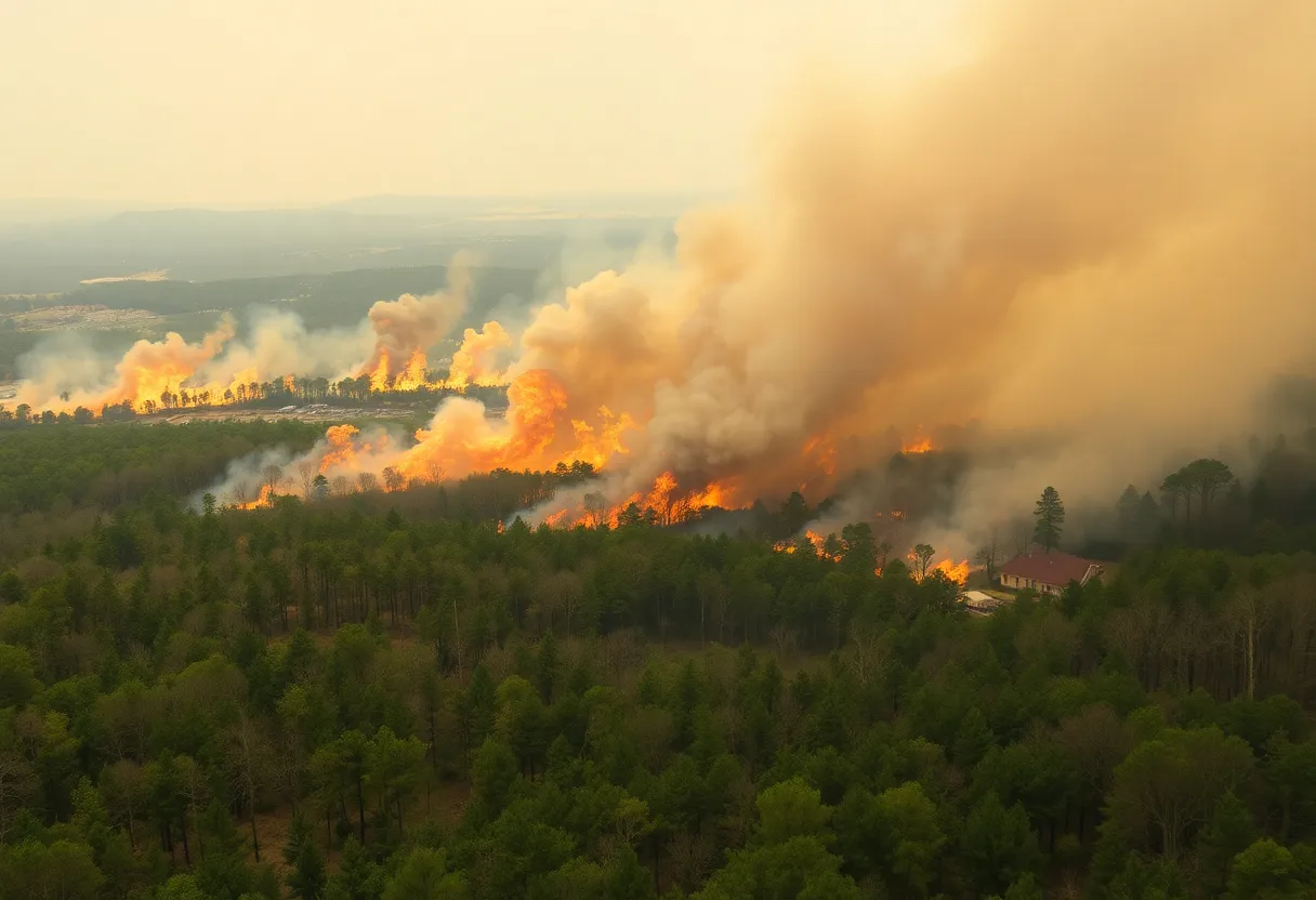
Wildfires Rage Across the Carolinas: A State of Emergency Declared
Thunderstorm Warning for Western North Carolina
Severe Tornado Outbreak Creates Chaos Across the South and Midwest
Additional Resources
- The State: Severe Weather Alert
- Wikipedia: Severe Weather
- Herald Online: Weather Update
- Google Search: Severe Thunderstorms Upstate South Carolina
- Myrtle Beach Online: Weather News
- Google Scholar: Impact of Thunderstorms
- WYFF4: Winter Storm Forecast
- Encyclopedia Britannica: Thunderstorms
- Salisbury Post: Dense Fog Advisory
- Google News: Flooding Concerns in South Carolina