News Summary
Residents of the Sierra region are being urged to prepare for severe winter weather, which is bringing heavy rainfall, power outages, and potential flooding. Ongoing disruptions include flooded roads and mudslides affecting travel, while localized power outages impact dozens of homes. The National Weather Service has issued a flood watch, warning of excessive rainfall and risks for mud and rock slides. Residents are advised to stay safe, avoid flooded areas, and remain updated on weather conditions.
Severe Winter Weather Hits Sierra Region: Get Prepared!
Attention residents of Sierra! The winter weather is making a serious impact around here, and it’s time to prepare for potential flooding and power outages. With heavy rainfall on the forecast and sometimes unpredictable conditions, it’s crucial to stay updated and vigilant.
Flooding and Road Conditions
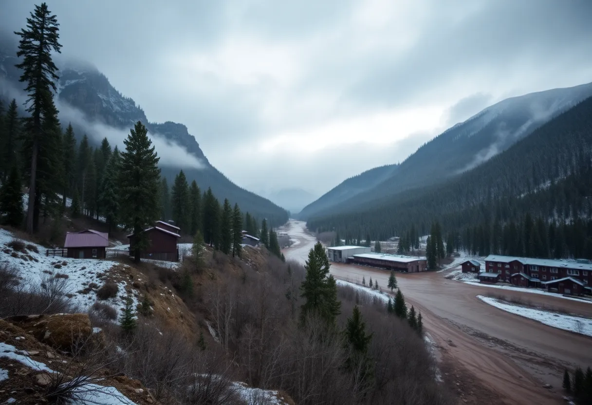
Let’s dive right into what’s happening. As of February 1, 2025, the westbound lane of HWY 174 near Cedar Ridge Y is flooded. If you have to drive in this area, remember to exercise extreme caution. It’s always better to be safe than sorry when it comes to road hazards.
And it’s not just the water causing disruptions. There have been reports of a mudslide on northbound HWY 49, located about half a mile from the 49 bridge. Boulders and branches are blocking the roadway, making it impassable for vehicles. Keep an eye on local news for updates about road clearance so you can plan your travels accordingly.
Power Outages Striking!
Flood Watch Alert!
Adding to the uncertainty, the National Weather Service (NWS) has issued a flood watch for our area starting noon on February 1 and lasting until 4 AM on February 4. The forecast predicts excessive rainfall, which could lead to flooding in rivers, creeks, streams, and those low-lying spots that always seem to give us trouble.
Given the ongoing storms, there’s also a heightened risk of mud and rock slides in the foothills and mountains. So, if you plan on hiking or going for a drive in the scenic routes, please use caution.
What to Expect This Week
The weather isn’t showing signs of letting up just yet! A warm weather system is on the way, bringing bouts of rain, high elevation snow, and some breezy southerly winds that will stick around through Sunday. Snow levels are above usual pass levels, leading to moderate impacts anticipated for travelers in and around the mountains.
If you’re thinking this is the end of it, think again! A second wave, this time a colder system, is expected to move in from Monday through mid next week, promising rain and lots of mountain snow. Hold onto your hats because a potential third, even colder system could follow, driving snow levels up into the upper foothills later in the week.
Safety First!
Localized flooding is shaping up in areas that have always had trouble, and significant rises in local waterways are anticipated. For those living in flood-prone locations, now is the time to start preparing. Think about how you can keep yourself safe. Plan to move to higher ground if you need to.
And just a heads up, today, February 1, is a permissible burn day in both Nevada and Sierra Counties. However, bear in mind that burning is not allowed within city limits in Nevada City and Grass Valley, so keep that in mind if you were planning to light up a fire.
Lastly, a huge reminder: never drive through flooded areas, even if it looks harmless. Just a small amount of water can sweep your car away, and we definitely don’t want that!
Stay safe, stay dry, and keep an eye on the weather updates!
Deeper Dive: News & Info About This Topic
HERE Resources
Additional Resources
- Sacramento Bee: Severe Winter Weather
- Wikipedia: Weather
- NWA Online: Disaster Declaration for Nevada
- Google Search: Weather news
- Fox40: August Storm in Northern California
- Google Scholar: Severe weather
- The National Desk: Homes Impacted by Flash Flooding
- Encyclopedia Britannica: Flood
- CBS News: Flash Flood Warning
- Google News: Flash flood warning