


BREAKING NEWS

Folsom Bulldogs Clinch Sixth State Championship Title
Mission Viejo, California, December 14, 2025 The Folsom Bulldogs secured their sixth CIF State Championship by defeating Cathedral Catholic 42-28 in a thrilling match held at Saddleback College. Junior quarterback Brody...

Folsom Bulldogs Win Sixth State Championship Against Cathedral Catholic
Rock Hill, SC, December 14, 2025 The Folsom Bulldogs emerged victorious in the Division 1-AA CIF State Championship, defeating Cathedral Catholic 42-28. Junior quarterback Brody Rudnicki starred, scoring six total touchdowns,...

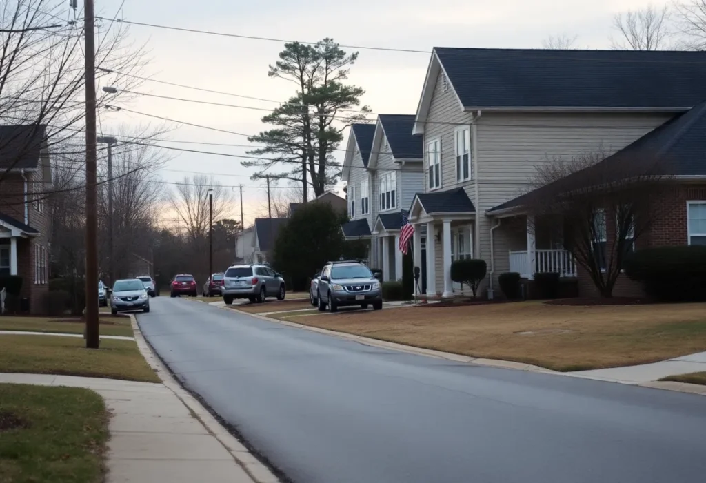
Prepare for Extreme Cold in Rock Hill, SC
Rock Hill, SC, December 14, 2025 An Extreme Cold Watch is set to affect Rock Hill, SC, with wind chills dropping to dangerously low levels. Residents are urged to take precautions...

Winthrop Eagles Dominate Bob Jones Bruins
Rock Hill, South Carolina, December 14, 2025 The Winthrop Eagles showcased their strength with a decisive 101-55 victory over the Bob Jones Bruins, enhancing their season record to 7-5. Standout performances...

Winthrop Women’s Basketball Faces Off Against Tennessee
Rock Hill, South Carolina, December 14, 2025 The Winthrop University women’s basketball team is preparing for a challenging encounter against the 18th-ranked Tennessee Volunteers in Knoxville. Currently holding a record of...

Hoppin’ Rock Hill Takes Stand Against Domestic Violence
Rock Hill, December 14, 2025 In a display of community commitment, Hoppin’ Rock Hill has pledged to donate all proceeds from Sycamore Brewing to Safe Passage, a nonprofit assisting victims of...

Rock Hill High School Football Team Faces Challenges
Rock Hill, South Carolina, December 14, 2025 The Rock Hill High School football team has recently faced significant challenges, including a loss to the South Pointe Stallions in the Class 4A...

York County Library Board Approves New Book Collection Policy
York County, South Carolina, December 13, 2025 The York County Library Board has approved a new Book Collection Policy with a 6-1 vote, aimed at refining book selection for juvenile and...

Rock Hill Man Arrested After Fatal Attempted Robbery
Rock Hill, South Carolina, December 13, 2025 A 20-year-old man, Jaquavious Marcel White, has been arrested in connection with a fatal attempted robbery in Rock Hill. The incident involved White and...
BUSINESS

Janney Montgomery Scott Expands Presence in Charlotte and Rock Hill
Charlotte, North Carolina, December 11, 2025 Janney Montgomery Scott LLC has announced the expansion of its operations in Charlotte, North Carolina, with the addition of financial advisors Albert Grenert and Michael...

Providence Care Appoints New CEO Werner Freymann, Jr.
Rock Hill, South Carolina, December 11, 2025 Providence Care has appointed Werner Freymann, Jr. as its new CEO, marking a significant shift in leadership within the senior care sector in Rock...

Indian Land’s Traffic Congestion Crisis Amid Funding Challenges
Indian Land, December 10, 2025 Indian Land, South Carolina, is facing severe traffic congestion on U.S. Highway 521, exacerbated by new retail developments. Local officials are seeking $40 million in funding...

3D Systems Strengthens Financial Position with $31 Million Transaction
Rock Hill, South Carolina, December 10, 2025 3D Systems Corporation has announced a $31 million equitization transaction to exchange its 0% Convertible Senior Notes for common stock. This strategic move aims...

Environmental Air Systems LLC Expands into Asheboro, NC
Asheboro, North Carolina, December 8, 2025 Environmental Air Systems LLC (EAS), a High Point-based HVAC company, is investing $20 million to build a new 300,000-square-foot facility in Asheboro, North Carolina. This...

Charlotte Museum of Nature Gains Smithsonian Affiliate Status
Charlotte, NC, December 6, 2025 The Charlotte Museum of Nature has been recognized as a Smithsonian Affiliate, marking a significant cultural advancement for Charlotte. This affiliation allows the museum to leverage...

QC Ally Appoints Scott Ingram as New Chief Information Officer
Rock Hill, S.C., December 5, 2025 QC Ally, a leader in tech-enabled loan quality services, has appointed Scott Ingram as the new Chief Information Officer. With over 20 years of experience...

Riverstone Logistics to Relocate to Rock Hill, SC
Rock Hill, SC, December 4, 2025 Riverstone Logistics, a supply chain company based in Charlotte, is planning to relocate its operations to Rock Hill, South Carolina. This strategic move will bring...

Charlotte’s Data Center Surge: Economic Gains and Energy Challenges
Charlotte, December 3, 2025 Charlotte is experiencing significant growth in data center development, promising major economic benefits through job creation and investment. However, this rapid expansion poses challenges for the local...
Events/What's Happening

Driver Killed in Single-Vehicle Crash in South Carolina
Rock Hill, South Carolina, December 12, 2025 A single-vehicle crash in Rock Hill, South Carolina, resulted in the tragic death of the driver. The accident occurred when a 2001 Ford pickup...

York, South Carolina Faces Surge in Drug-Related Crimes
York, December 12, 2025 The recent arrest of Anthony Christopher Shannon in York has brought attention to the increasing threats posed by drug trafficking and illegal firearms in South Carolina. Shannon,...

Kamala Harris to Appear in Columbia on National Book Tour
Columbia, South Carolina, December 11, 2025 Former Vice President Kamala Harris is set to visit Columbia, South Carolina, to promote her memoir, ‘107 Days.’ The event will take place at The...

Upcoming Marathons Across the U.S.
Rock Hill, SC, December 6, 2025 As runners across the nation gear up for an exciting year of races, various half and full marathons are scheduled to take place. From the...

FAMU Advances to HBCU Hoops Invitational Championship After Forfeit
Orlando, Florida, December 6, 2025 Florida A&M University (FAMU) has progressed to the championship game of the first HBCU Hoops Invitational following Barber-Scotia College’s controversial forfeit. The incident has raised questions...

Dense Fog Advisory for Rock Hill: What You Need to Know
Rock Hill, December 6, 2025 A Dense Fog Advisory is in effect for Rock Hill, South Carolina, until Saturday. Residents and travelers must take precautions due to reduced visibility expected to...

ChristmasVille Events Prompt CATS Bus Route Detour in Rock Hill
Rock Hill, SC, December 6, 2025 The Charlotte Area Transit System (CATS) has announced a temporary detour for bus route 82x during the ChristmasVille events on December 4 and 5. This...

How ChristmasVille is Energizing Rock Hill SC’s Community
Rock Hill SC, December 6, 2025 Rock Hill, South Carolina, is celebrating the holiday season with its independent ChristmasVille festival. This nonprofit organization showcases community resilience by offering a vibrant holiday...

Charlotte’s Cheapest Gas Stations Revealed
Charlotte, December 5, 2025 As of December 5, drivers in Charlotte, NC can discover affordable gasoline prices at various local stations. Consumers are actively seeking ways to save at the pump,...
CRIME
Hoppin’ Rock Hill Takes Stand Against Domestic Violence
Rock Hill, December 14, 2025 In a display of community commitment, Hoppin’ Rock Hill has pledged to donate all proceeds from Sycamore Brewing to Safe Passage, a nonprofit assisting victims of...
Rock Hill Man Arrested After Fatal Attempted Robbery
Rock Hill, South Carolina, December 13, 2025 A 20-year-old man, Jaquavious Marcel White, has been arrested in connection with a fatal attempted robbery in Rock Hill. The incident involved White and...
Attempted Armed Robbery in Rock Hill Results in Fatality
Rock Hill, South Carolina, December 13, 2025 In a tragic incident in Rock Hill, South Carolina, a 20-year-old man, Jaquavious Marcel White, has been arrested following an attempted armed robbery that...

Rock Hill Man Arrested After Botched Armed Robbery Leaves One Dead
Rock Hill, South Carolina, December 13, 2025 Jaquavious Marcel White, a 20-year-old from Rock Hill, has been charged with Attempted Armed Robbery and Criminal Conspiracy following a failed robbery on Eden...

Rock Hill Man Sentenced to 46 Years for Child Sex Crimes
Rock Hill, South Carolina, December 12, 2025 Jeremy Lewis, a 23-year-old from Rock Hill, South Carolina, has been sentenced to 46 years in prison after pleading guilty to multiple counts of...

South Carolina Intensifies Raids on Vape Shops to Combat Illegal Substance Distribution
South Carolina, December 11, 2025 In South Carolina, law enforcement has ramped up efforts against illegal substance distribution through vape and tobacco shops. Recent coordinated raids in Florence County, part of...

Rock Hill Man Sentenced for Drug and Firearm Offenses
Rock Hill, South Carolina, December 11, 2025 A Rock Hill resident received a 30-year federal prison sentence after being convicted of multiple charges related to drug trafficking and illegal firearm possession....
Community Urged to Help Find Missing Mother in Charlotte
Charlotte, December 10, 2025 The Charlotte-Mecklenburg Police Department is urgently seeking help to locate 31-year-old Frezja Baker, who has been missing since December 4. Her family is concerned as she was...

Family Seeks Information on Missing Mother in Charlotte
Charlotte, N.C., December 10, 2025 The Charlotte-Mecklenburg Police are actively searching for Frezja Baker, a 31-year-old mother missing since December 4, 2025. Last seen driving a gray-blue Honda Accord, her family...
POLITICS
York County Library Board Approves New Book Collection Policy
York County, South Carolina, December 13, 2025 The York County Library Board has approved a new Book Collection Policy with a 6-1 vote, aimed at refining book selection for juvenile and...

Jay Lucas’ Supreme Court Candidacy Influences South Carolina Elections
Rock Hill, South Carolina, December 12, 2025 In South Carolina, Jay Lucas has declared his candidacy for the Supreme Court, which is shaping the Attorney General race. David Pascoe, a candidate...
Community Urged to Help Find Missing Mother in Charlotte
Charlotte, December 10, 2025 The Charlotte-Mecklenburg Police Department is urgently seeking help to locate 31-year-old Frezja Baker, who has been missing since December 4. Her family is concerned as she was...

Stabbing on Charlotte Light Rail Triggers Public Safety Debate
Charlotte, North Carolina, December 8, 2025 The stabbing incident aboard a CATS Blue Line light rail train has sparked renewed discussions on public safety in Charlotte. Following the hospitalization of 24-year-old...

Recent Stabbing on Charlotte Light Rail Sparks Political Debate
Charlotte, North Carolina, December 8, 2025 A violent stabbing incident aboard a Charlotte light rail train has intensified political discussions surrounding public safety and immigration policies. Kenyon Kareem-Shemar Dobie, the victim,...

Incident Aboard Charlotte Light Rail Stirs Public Safety Debate
Charlotte, North Carolina, December 8, 2025 A stabbing incident on a Charlotte light rail train has sparked renewed discussions on public safety and immigration policies. The attack left a 24-year-old man...

Stabbing Incident on Charlotte Light Rail Raises Safety Concerns
Charlotte, North Carolina, December 8, 2025 A recent stabbing on the Charlotte Area Transit System Blue Line has reignited discussions about public safety. The incident, which involved a 33-year-old man being...

Recent Stabbing on Charlotte Light Rail Sparks Political Debate
Charlotte, North Carolina, December 8, 2025 A stabbing on the Charlotte Light Rail has resulted in serious injuries to a passenger and ignited political conversations about public safety and immigration laws....

Second Stabbing on Charlotte Light Rail Sparks Debate
Charlotte, December 8, 2025 A recent stabbing on Charlotte’s light rail system has raised serious concerns regarding public safety and immigration policies. On December 5, a man was arrested for allegedly...
SPORTS
Upcoming Marathons Across the U.S.
Rock Hill, SC, December 6, 2025 As runners across the nation gear up for an exciting year of races, various half and full marathons are scheduled to take place. From the...
FAMU Advances to HBCU Hoops Invitational Championship After Forfeit
Orlando, Florida, December 6, 2025 Florida A&M University (FAMU) has progressed to the championship game of the first HBCU Hoops Invitational following Barber-Scotia College’s controversial forfeit. The incident has raised questions...

Rudolph’s Revenge: A Christmas in July Night Run
Rock Hill, South Carolina, November 25, 2025 Join the festivities in Rock Hill, South Carolina, with the Rudolph’s Revenge: A Christmas in July Night Run on July 18. This community event...

Major League Soccer Playoff Faceoff: NYCFC vs. Philadelphia Union
Chester, Pennsylvania, November 23, 2025 The Eastern Conference Semifinals of the MLS Cup Playoffs will feature a thrilling match between New York City FC and the Philadelphia Union. Taking place at...

Rock Hill High School Football Team Aims for Playoffs
Rock Hill, South Carolina, October 26, 2025 News Summary Rock Hill High School’s football team is fighting for a playoff spot as Week 10 approaches, currently holding a record of 4-3...

Greensboro Swarm Signs DJ Burns for Upcoming G League Season
Greensboro, NC, October 26, 2025 News Summary The Greensboro Swarm has officially signed 25-year-old center DJ Burns, a former NC State standout, in preparation for the G League season. Acquired from...

Winthrop Volleyball Defeats Radford to Extend Winning Streak
Rock Hill, South Carolina, October 25, 2025 News Summary The Winthrop University volleyball team achieved a solid victory against Radford, winning 3-1 in a conference match. Paige Bennett led with 17...

Indian Land Football Team Aims to Extend Undefeated Streak Against Fort Mill
Indian Land, SC, October 24, 2025 News Summary The Indian Land football team is set for a crucial matchup against Fort Mill this Friday, boasting an impressive undefeated record of 8-0....

Northwestern Trojans Dominate Rock Hill Bearcats in Rivalry Match
Rock Hill SC, October 23, 2025 News Summary The Northwestern Trojans triumphed over the Rock Hill Bearcats with a score of 45-14, marking their sixth consecutive victory in the historic rivalry....