Thunderstorm Alert in Easley, SC: What You Need to Know!
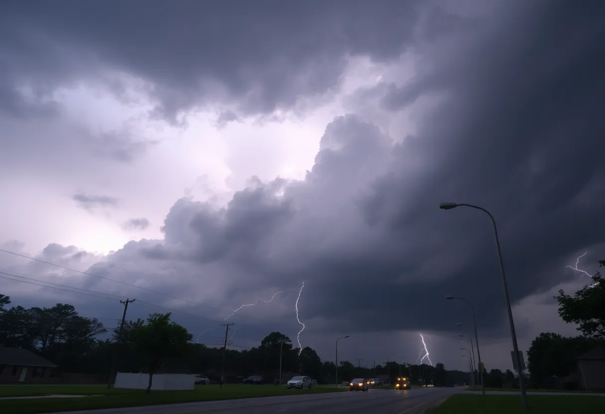
Hey there, Easley residents! If you stepped outside today, you might have noticed the sky becoming a bit ominous. That’s right, the National Weather Service (NWS) has issued a thunderstorm warning that’s causing a stir around town. The storm was first tracked at around 6:03 p.m., just 5 miles north of us, and it’s moving east at a respectable 25 mph. The warning lasts until 6:45 p.m., so we’ve got a bit of time before things calm down again.
What to Expect
According to the NWS, we can expect some strong winds with gusts reaching up to 40 mph. So, if you have any outdoor furniture or decorative items, now might be the time to bring them inside! There’s also a possibility of pea-sized hail (that’s about 0.25 inches, if you’re curious) making its presence known. While it may not sound like much, it can definitely cause minor damage to your plants and outdoor decor.
Where Is It Hitting?
Those in the surrounding areas will likely feel the brunt of this weather change. Places like Greenville Downtown, Easley, Greer, and Taylors are all under the alert. If you live in areas like Berea, Welcome, Travelers Rest, or Liberty, it wouldn’t hurt to keep an eye on the skies.
Safety First!
If you happen to be outdoors at this time (which we hope you aren’t!), the best thing you can do is to seek shelter inside a building right away. It’s always wise to err on the side of caution during thunderstorms. Keep in mind that when thunderstorms roll in, they can bring along lightning, which strikes the U.S. about 25 million times a year! So, yes, that’s a lot of zaps!
Hydroplaning: A Quick Reminder
As if thunderstorms aren’t enough, we should also consider road safety while driving during the rain. Have you ever heard of hydroplaning? It’s a situation many drivers face when their vehicle starts gliding uncontrollably on wet roads. This happens when the water builds up in front of the tires faster than the car can push it out of the way. Essentially, your tires can rise on a thin layer of water and lose contact with the road, leading to loss of control. The three main contributors to hydroplaning are:
- Speeding in wet conditions
- Worn-out tires
- Standing water on the road
What to Do if You Hydroplane
In case you find yourself hydroplaning, it’s important to stay calm. Here are some quick tips: Do not slam on the brakes, as this can make the situation worse. Instead, gently ease off the accelerator and steer in the direction you want to go until you regain control. Also, keep a safe distance between you and the car ahead, especially during heavy rains.
So Stay Safe!
As we navigate through this stormy weather, remember that your safety comes first. Take the necessary precautions, find shelter, and keep an ear open for updates from the NWS. Stay dry, Easley!


