News Summary
Residents of Columbia, South Carolina, should prepare for a winter weather advisory due to a forecasted mix of freezing rain, sleet, and possible snow this Wednesday. A low-pressure system is set to bring moisture, and temperatures are expected to fluctuate. Authorities are preparing the roads, and residents are advised to stay cautious while traveling. With temperatures dropping into the 20s following the storm, potential icy conditions may arise. Finally, curbside recycling collection has been canceled for these days due to the weather.
Winter Weather Warning for Columbia: Get Ready for a Wintry Mix!
Residents of Columbia, South Carolina, be on alert! This week, the National Weather Service has issued a winter weather advisory as a notable change in the forecast is headed our way. On Wednesday, get prepared for a mix of freezing rain, sleet, and possibly even some snow!
What’s Happening?
A low-pressure system is traveling along the coast, bringing with it moisture that will affect the Midlands starting Wednesday and potentially stick around through the night. As we sit at the edge of this weather system, sub-freezing air is tipped to push its way into the northern counties. This means that areas up north, including parts of North Carolina, are in for a more significant chance of that aforementioned wintry mix.
If you’re in Columbia, there’s still some uncertainty in the air—quite literally! The temperatures here on Wednesday are expected to fluctuate, making it unclear if we’ll be getting a fluffy blanket of snow or perhaps just some rain. If the temperatures dip to a comfortable level for snow, expect a chillier evening where conditions could become slippery.
Forecast Details
As Wednesday unfolds, we might see temperatures dip to a low of around 30 degrees, with a 30% chance of precipitation. While accumulations are expected to be light, with less than half an inch predicted for the day, there’s a tentative hope that we’ll see some wintry mix. Keep in mind that no accumulation is guaranteed; much will depend on the temperature trends.
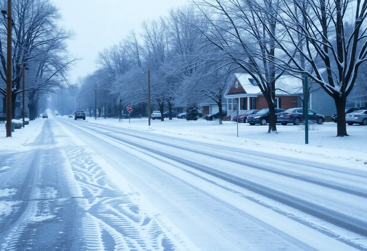
Should the temperatures stay sufficiently low, we may experience prolonged periods of freezing rain, sleet, and even a sprinkle of snow. This kind of weather can cause tricky driving conditions, leading to possible traffic delays. So if you need to travel, it might be wise to think twice.
Transportation Preparedness
The authorities are already gearing up! The South Carolina Department of Transportation is beginning to prepare the roads by spraying a salt brine solution, which helps melt the ice, making journeys a bit safer. They’ll start with major interstate and primary routes, gradually moving towards the secondary roads once the initial work is done.
After the Storm: What to Expect
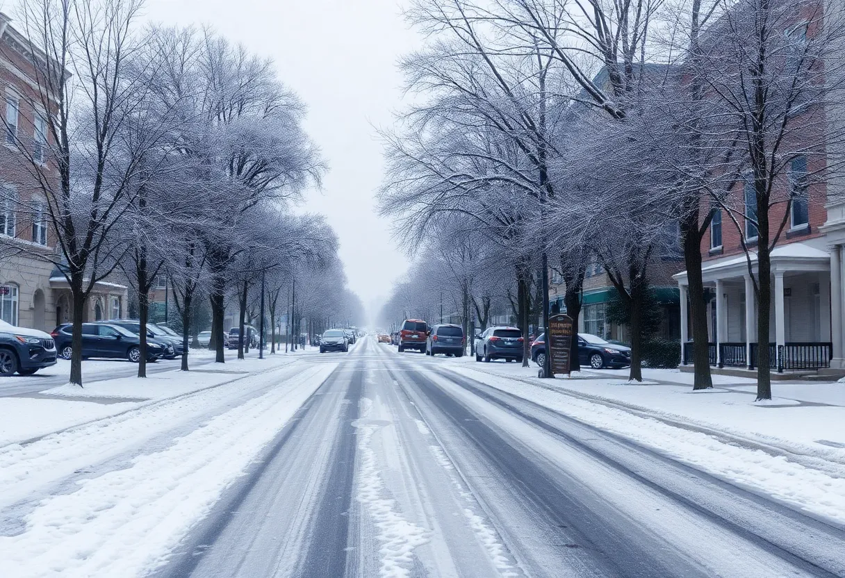
Once the precipitation calms down by Wednesday night, cold weather will stick around for a bit longer. On Thursday and Friday, brace yourselves as temperatures dive into the 20s with a potential low reaching around 20 degrees overnight Thursday. This drop can create a risk for refreezing, which means black ice could be a concern for those hitting the roads.
However, there is light at the end of the tunnel! As we move into the weekend, temperatures are set to rise from the chilly 40s on Thursday and Friday into more pleasant 50s and 60s. With that warming trend, we can expect dry conditions moving into next week.
A Glimpse into Our Wintry History
If we do encounter any snow, it would mark the third snowstorm in the Midlands this year. Snow in this area is always a bit of a rare treat! Earlier winter storms we experienced in January included a chaotic mix of rain, sleet, and snow, with some areas reporting up to 4 inches. Let’s not forget, the last measurable snow in Columbia was in January 2022, when we saw an accumulation of approximately 3 inches.
Stay Safe!
The Columbia Public Works Department is asking residents to keep parked vehicles off priority routes to facilitate snow plowing, should it become necessary. If you must venture out, please drive cautiously and only travel if absolutely necessary. For those relying on public transit, Go COMO is running on schedule, and you can track real-time updates through the ETA SPOT app.
As a final note, curbside recycling collection was canceled for Tuesday through Thursday due to the anticipated weather. So, stay warm, be safe, and let’s all hope for a delightful winter wonderland—or just a cozy evening at home!
Deeper Dive: News & Info About This Topic
HERE Resources
Greenville Prepares for Winter Weather
Historic Flooding Ravages Eastern Kentucky and Southern West Virginia
Charlotte Sports Websites Facing Access Issues
Rock Hill’s Young Athletes Shine in Weekend Events
Rhesus Macaque Monkeys Recaptured in Yemassee
Brace For the Chill: Polar Vortex Hits the U.S.
Severe Weather Hits Eastern U.S. with Floods and Snow
Columbia, South Carolina Braces for Wintry Weather
Severe Storms and Flooding Impact Southeastern U.S.
Winter Storm Warning Issued for North Carolina
Additional Resources
- KRCG TV: City of Columbia Provides Winter Weather Update
- Google Search: Columbia Weather Update
- Columbia Tribune: Snow Removal Update
- Wikipedia: Winter Weather
- ABC 17 News: Winter Storm Updates
- Encyclopedia Britannica: Winter
- Columbia Missourian: Columbia Deals with Another Batch of Snow
- Google News: Columbia Winter Weather